


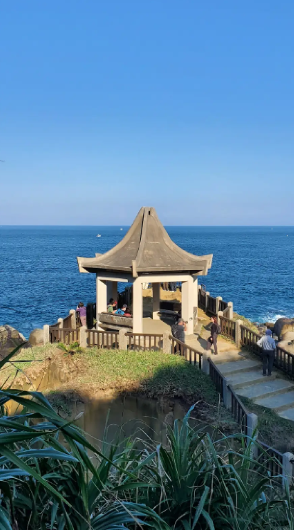
和平島位於臺灣東北角外海,透過和平橋與基隆本島相連,因緊鄰基隆港東側,自十七世紀起即成為北臺灣最早迎來西方人與漢人入墾的地區之一。島嶼雖小,卻融合壯麗的海岸地形與深厚的歷史文化,是認識臺灣海洋文明的重要起點。
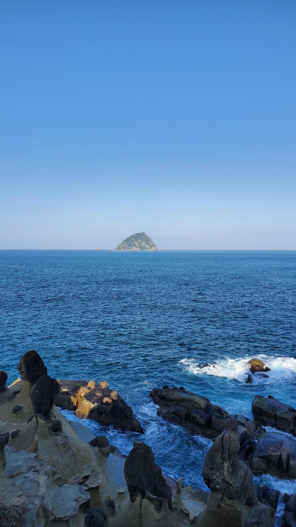
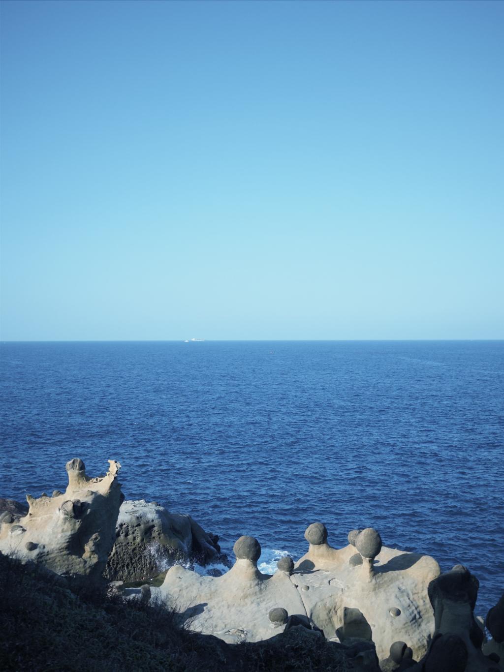
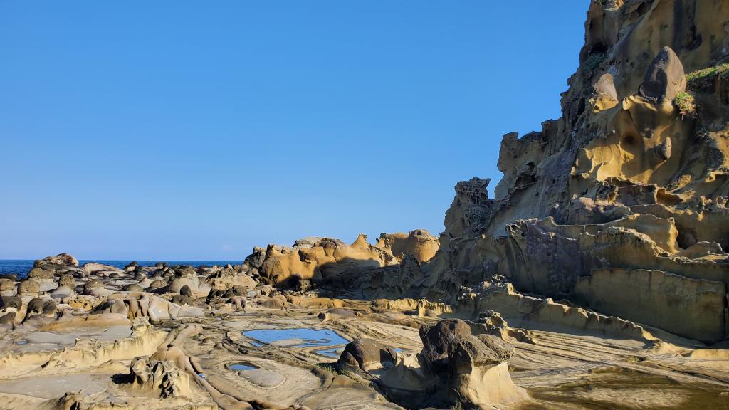
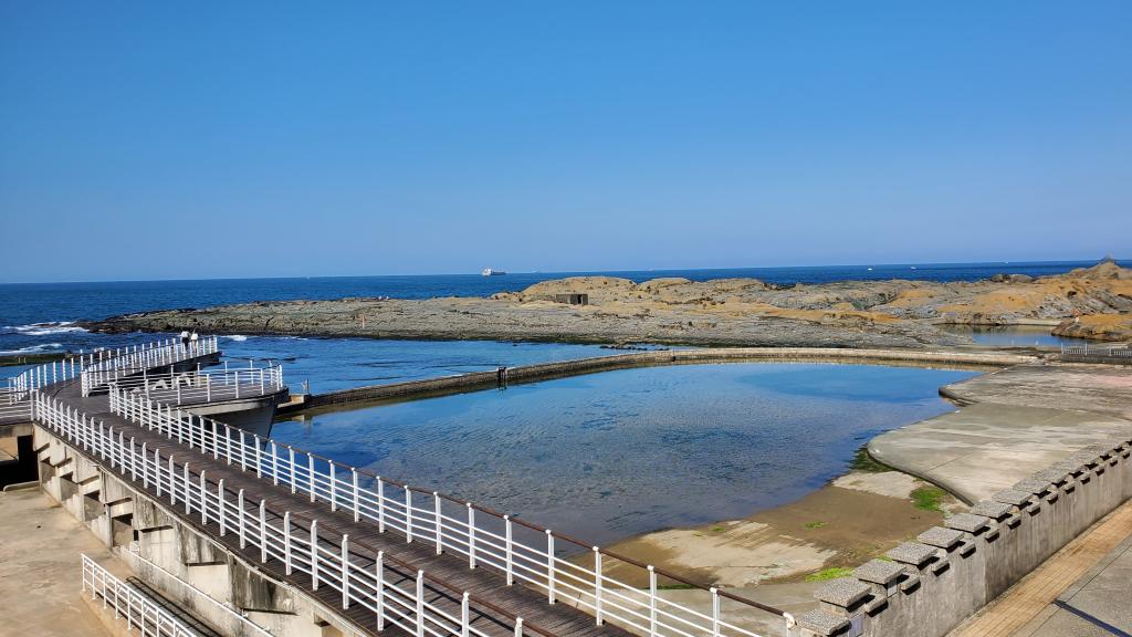
長年受海浪與季風侵蝕,島上形成海兔岩、黑鳶岩與蕈狀岩等獨特海蝕景觀,並孕育豐富的海洋生態,至今仍可見居民於潮間帶採集海菜,展現基隆典型的濱海生活。
考古證據顯示,和平島早在史前時期即有人類活動,並與巴賽族文化密切相關。1626 年西班牙人建立聖薩爾瓦多城,使此地成為北臺灣對外交流的重要據點,後歷經荷蘭、清治與日治時期而逐漸沒落。 近年在「大基隆歷史場景再現計畫」推動下,和平島透過古蹟整合、地質公園經營與數位導覽,成功轉型為兼具歷史深度、自然保育與永續觀光價值的文化島嶼。
Heping Island is located off Taiwan’s northeastern coast and is connected to the city of Keelung by the Heping Bridge. Due to its proximity to Keelung Harbor, it became one of the earliest places in northern Taiwan to experience Western contact and Han Chinese settlement in the 17th century. Though small in size, the island combines dramatic coastal landscapes with a rich historical legacy, making it a key site for understanding Taiwan’s maritime culture.
Shaped by long-term wave erosion and monsoons, Heping Island features distinctive sea-eroded rock formations such as Sea Rabbit Rock and Mushroom Rocks, along with a diverse marine ecosystem. Traditional coastal practices, including seaweed harvesting along the intertidal zone, remain part of local life.
Archaeological evidence shows that the island was inhabited in prehistoric times and closely linked to the indigenous Basay people. In 1626, the Spanish built Fort San Salvador here, turning the island into an important gateway for trade and exchange in northern Taiwan.
Today, through the Greater Keelung Historical Scene Reconstruction Project, Heping Island has been revitalized as a cultural destination that integrates historical preservation, environmental conservation, and sustainable tourism.
