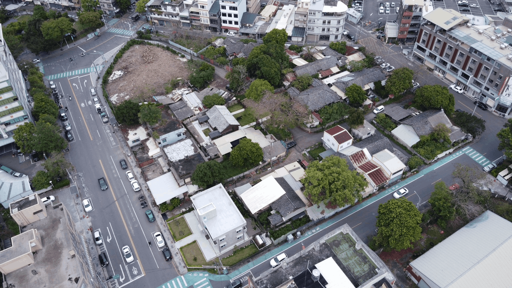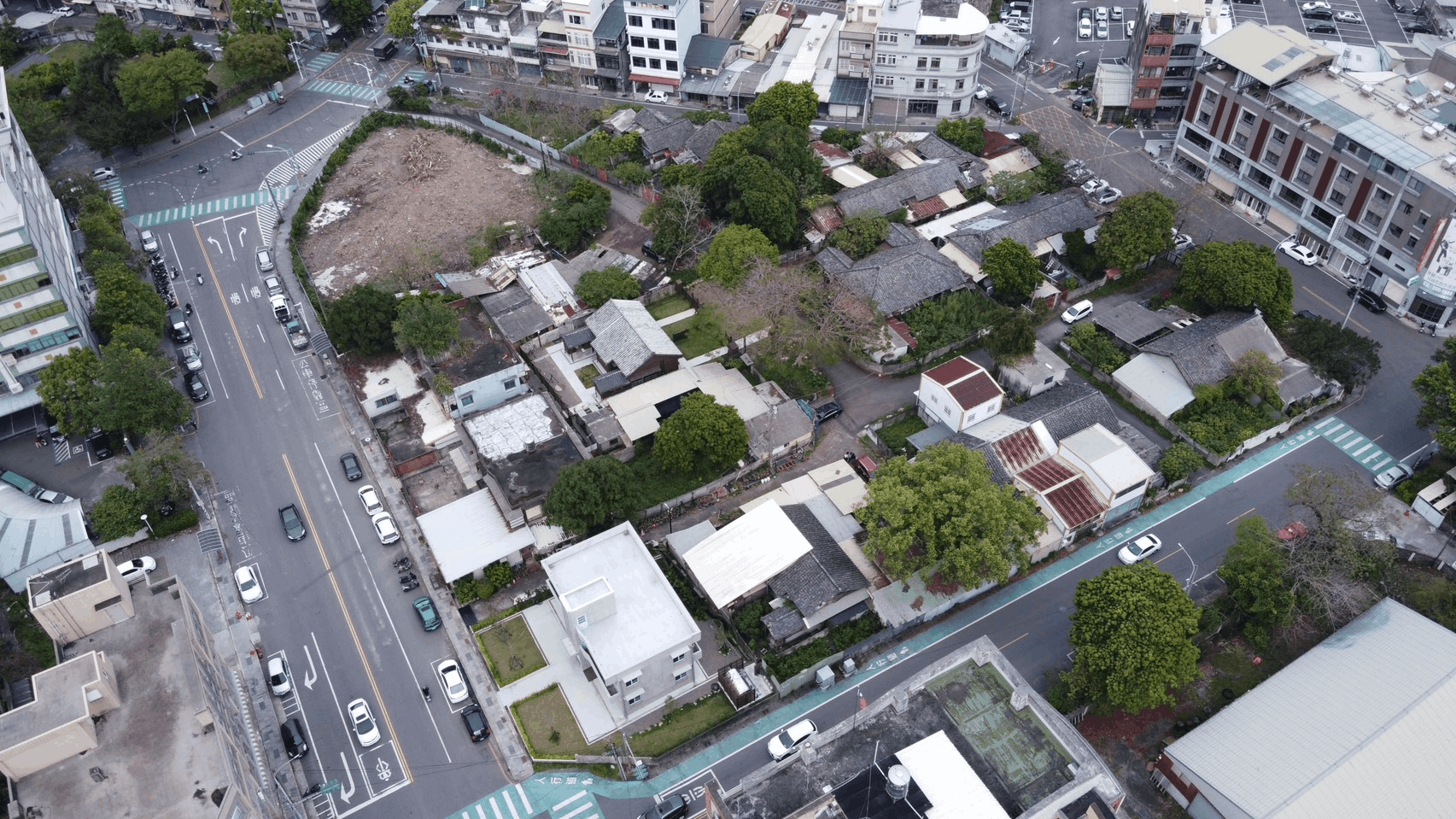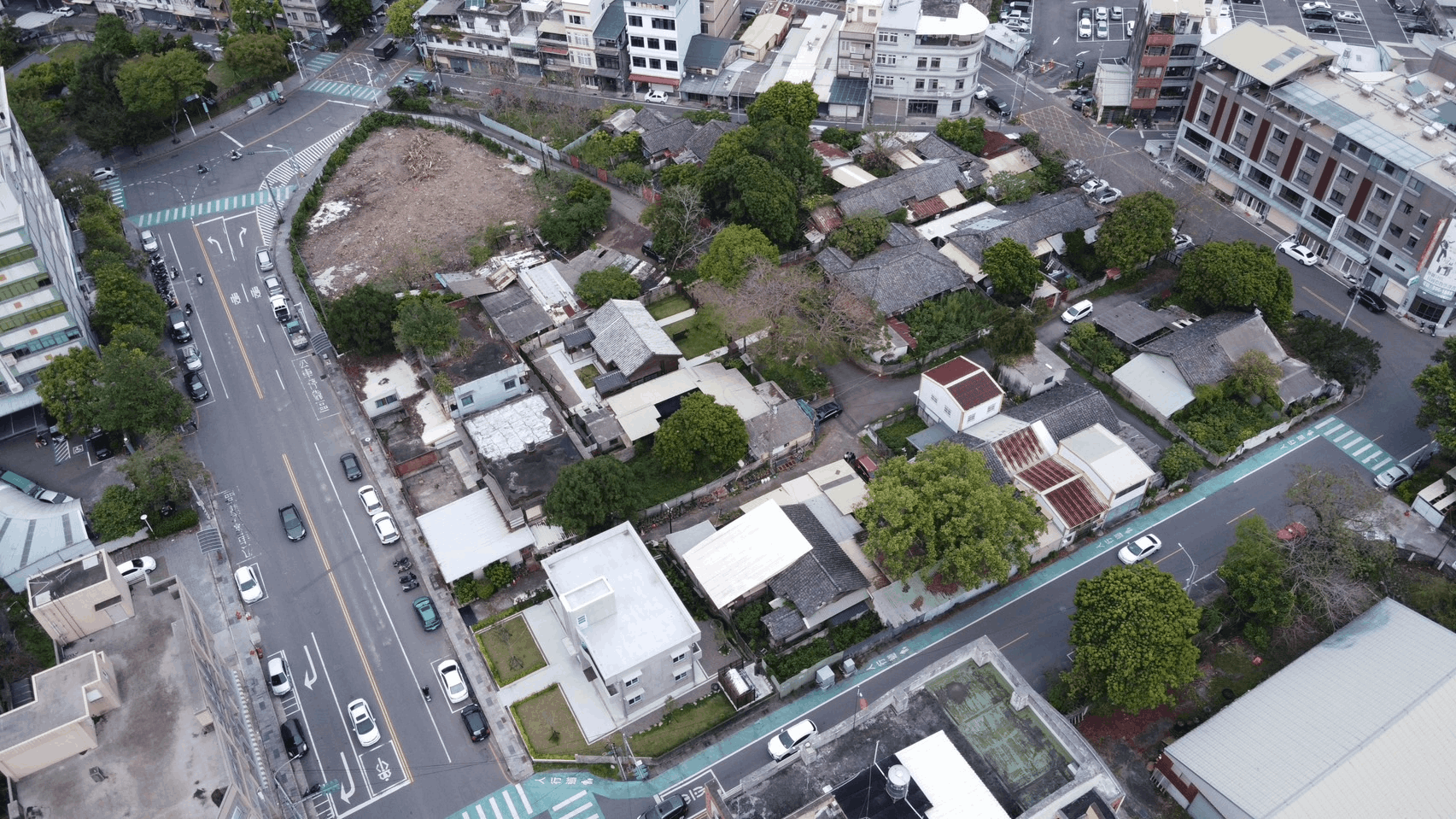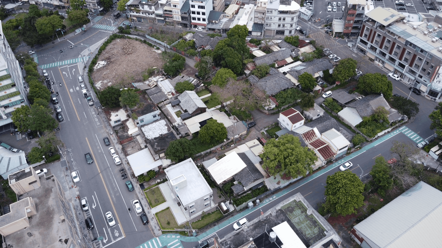
22 陽明交大博愛校區-竹銘館
22 Yangming National Chiao Tung University Boai Campus - Zhuming Hall
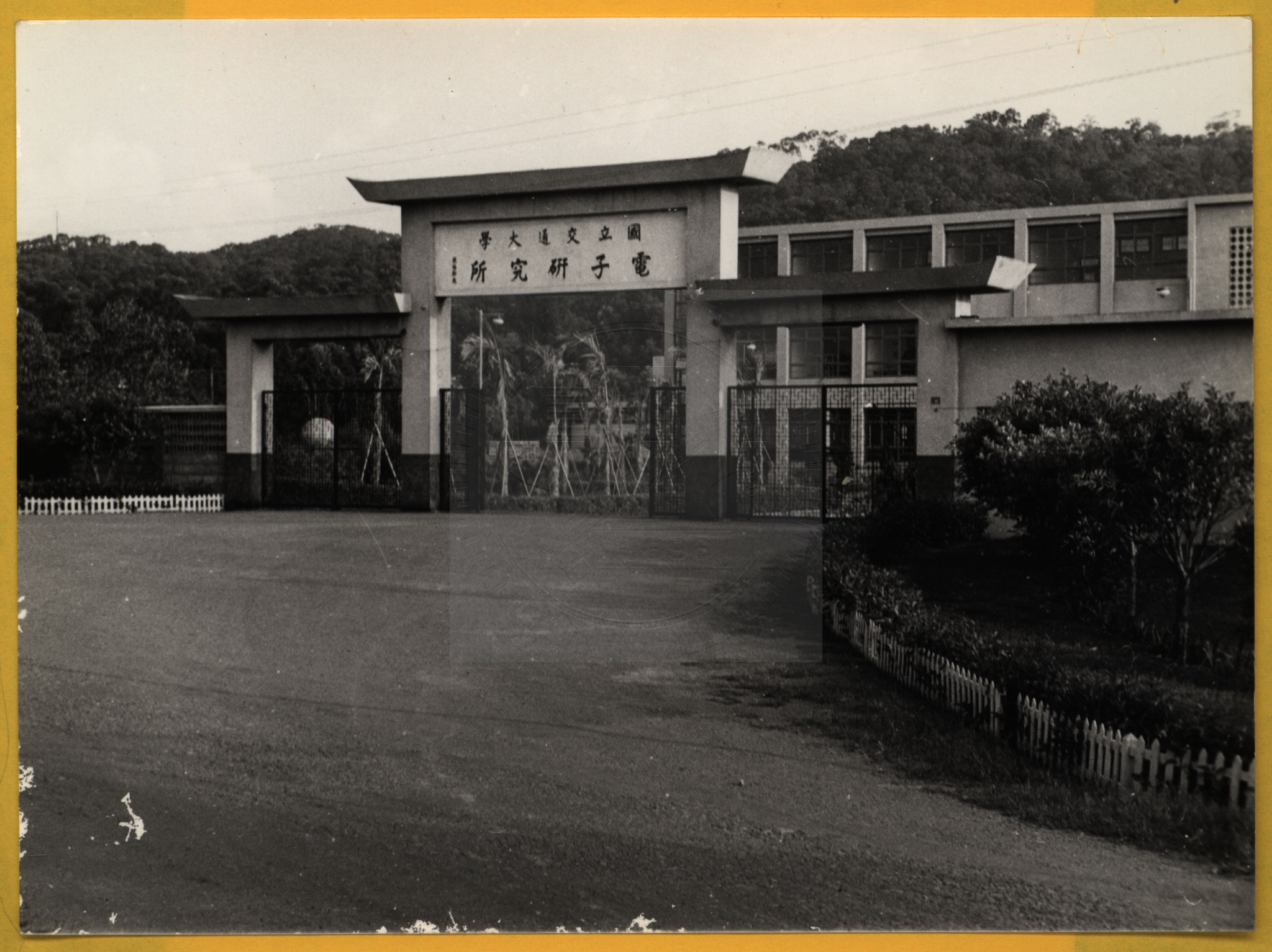
交通大學前身為 1896 年清朝創辦的南洋公學。1949 年政府遷臺後,校友積極奔走,主張以電子科學研究作為復校核心。1958 年交通大學因此在臺復校,設立電子研究所,為日後培育臺灣高科技人才奠定深遠基礎。
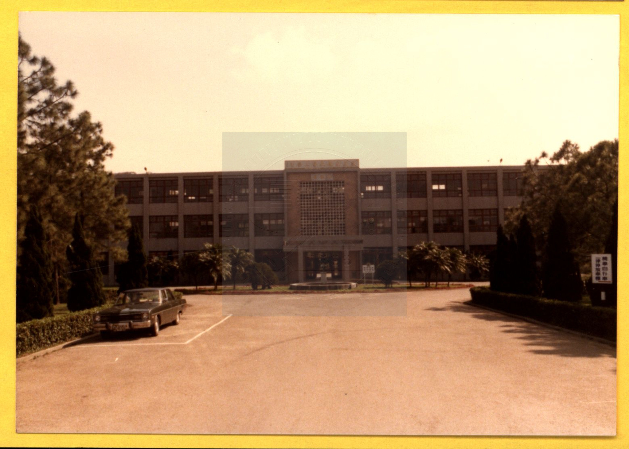
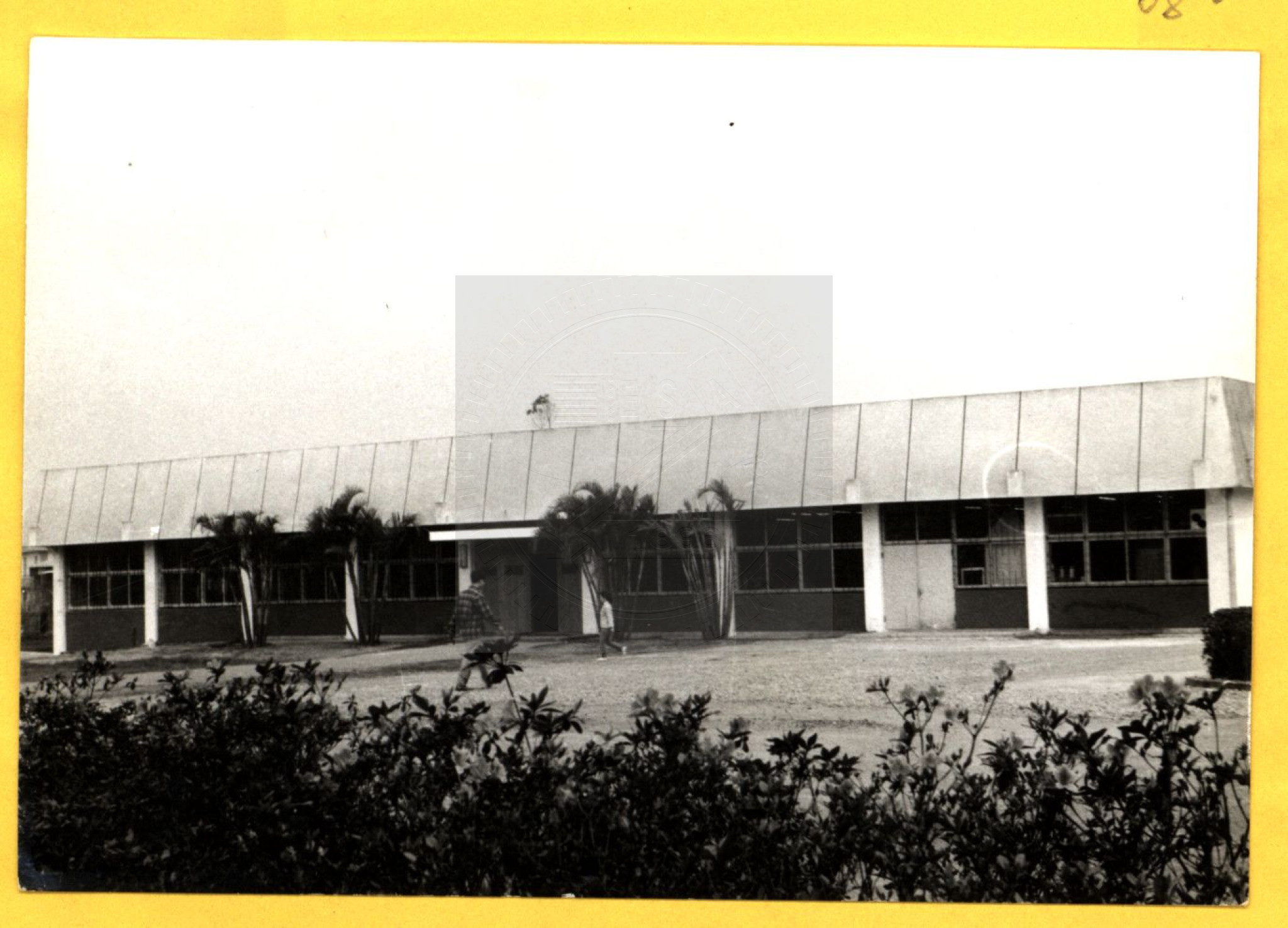
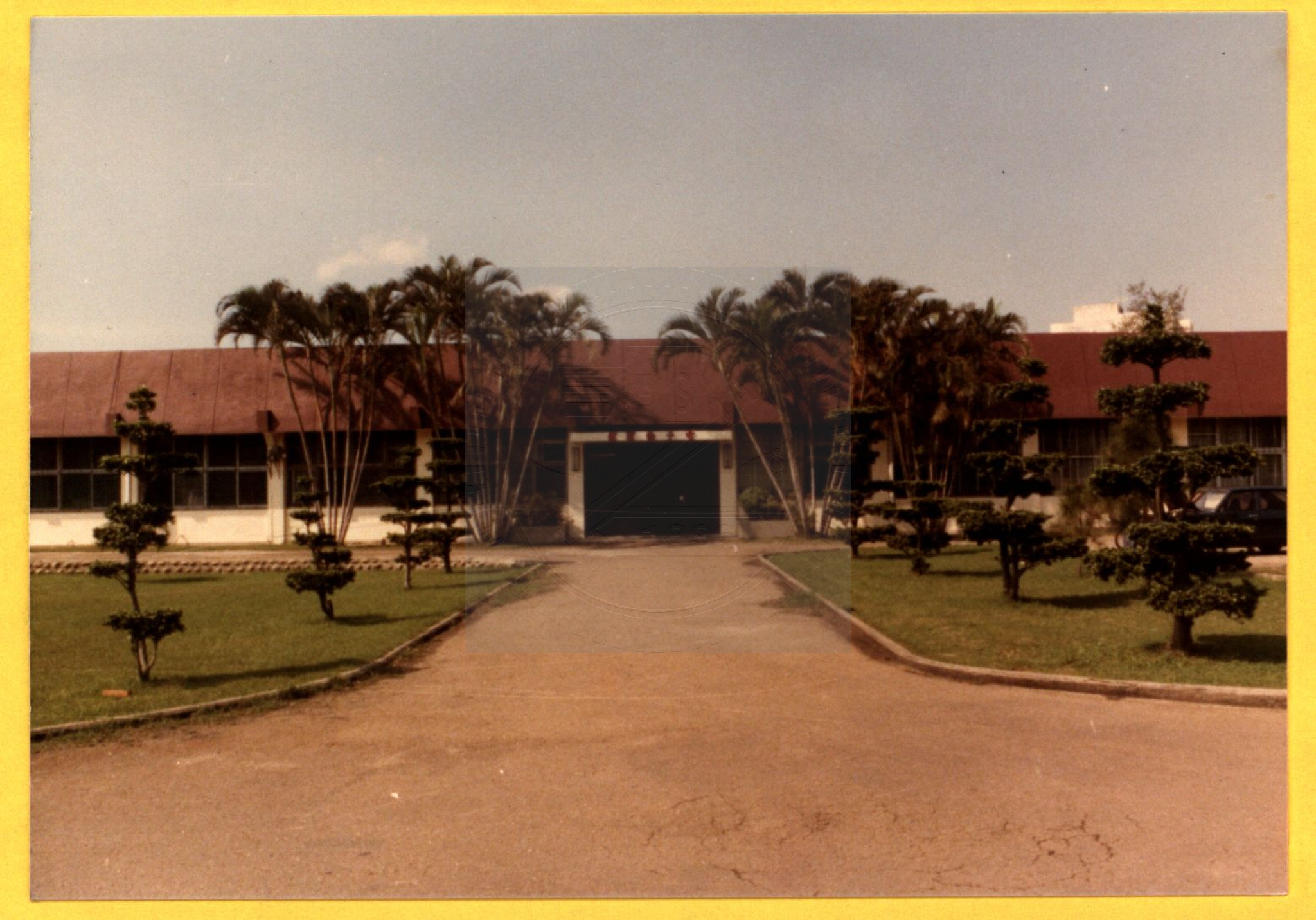
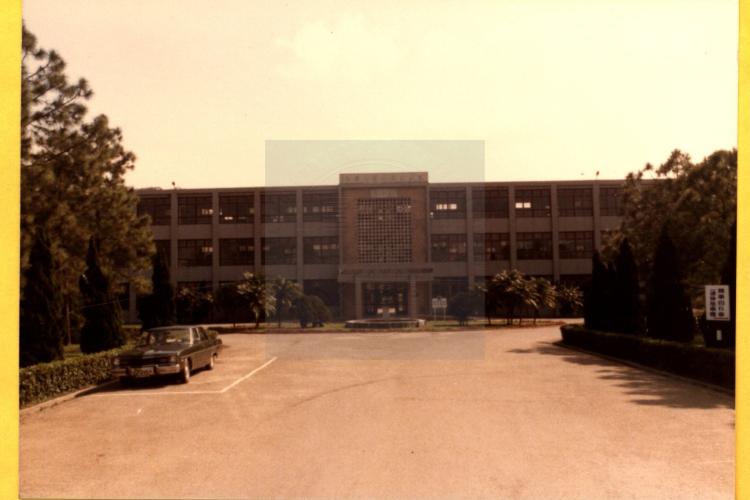
復校初期選址於新竹十八尖山下三公頃土地,作為交大在臺重新起步的基地。第一棟校舍「竹銘館」由校友捐款與美援經費興建,集教學、研究與行政功能於一身。1960 年交通大學獲聯合國特別基金會支持,在博愛校區設立「遠東電子電信訓練中心」,引入國際師資與技術。1964 年,我國第一座電晶體實驗室於校門口旁的實驗工場成立;隔年成功自製矽平面式電晶體,進一步促成半導體中心成立,開啟臺灣半導體研究的先河。
復校初期選址於新竹十八尖山下三公頃土地,作為交大在臺重新起步的基地。第一棟校舍「竹銘館」由校友捐款與美援經費興建,集教學、研究與行政功能於一身。1960 年交通大學獲聯合國特別基金會支持,在博愛校區設立「遠東電子電信訓練中心」,引入國際師資與技術。1964 年,我國第一座電晶體實驗室於校門口旁的實驗工場成立;隔年成功自製矽平面式電晶體,進一步促成半導體中心成立,開啟臺灣半導體研究的先河。
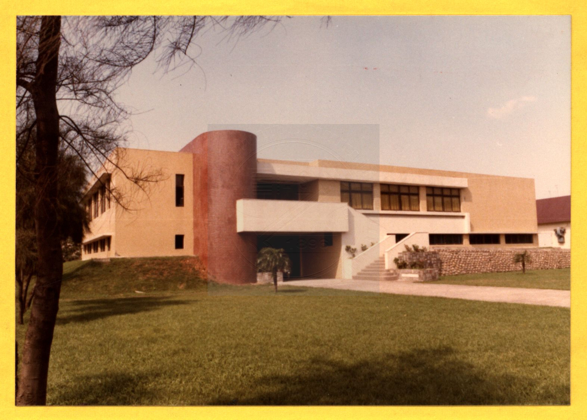
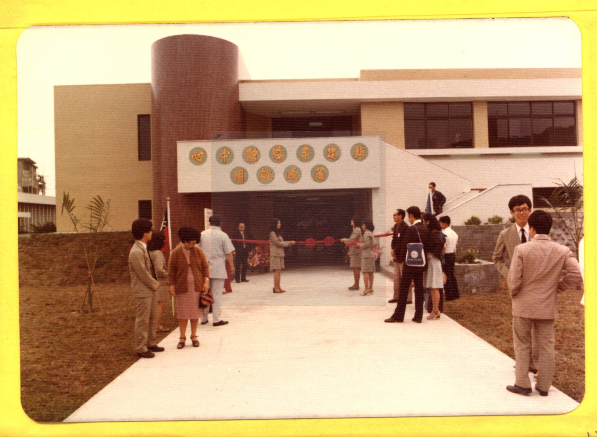
交大於 1970 年培育出首位工學博士,象徵臺灣高階工程教育的重要里程碑。自 1977 年起,在國科會支持下興建全新的半導體中心大樓,並納入教育部正式編制,成為全國學術與研究單位的重要技術支援基地。其後,國科會於 1981 年設立「半導體貴重儀器使用中心」,1988 年再核准籌建「國家次微米元件實驗室」,使博愛校區成為臺灣科技產業奠基的核心地點。
2021 年交大與陽明合校後,於博愛校區籌設 300 床規模的「竹銘醫院」,由醫療財團法人竹銘基金會負責營運,主攻智慧醫療領域,預計於 2027 年啟用。
The origins of National Yang Ming Chiao Tung University trace back to the Nanyang Public School, founded in 1896 during the Qing dynasty. After the government relocated to Taiwan in 1949, alumni advocated re-establishing the University with a focus on electronic science. In 1958, the University was officially re-established with the Institute of Electronics, laying the foundation for cultivating Taiwan’s future high-tech talent.
The initial three-hectare site at the foot of Eighteen Peaks Mountain served as the starting point for the University in Taiwan. Jhuming Hall, funded by alumni and U.S. aid, housed teaching, research, and administrative functions. With support from the United Nations in 1960, the Far East Electronics and Telecommunications Training Center was established. In 1964, Taiwan’s first transistor laboratory was built near the main gate, and the successful fabrication of silicon planar transistors the following year led to the formation of the Semiconductor Center, marking the beginning of Taiwan’s semiconductor research.
In 1970, the University awarded its first Ph.D. in Engineering, marking a major milestone in Taiwan’s advanced engineering education. Beginning in 1977, a new Semiconductor Center building was constructed with support from the National Science Council and incorporated into the Ministry of Education’s official structure. In 1981, the Semiconductor Instrumentation Center was established, and in 1988 the University was approved to establish the National Submicron Device Laboratory, solidifying Bo-Ai Campus as a foundational site for Taiwan’s technology development.
Following the 2021 merger of National Chiao Tung University and National Yang-Ming University, a new 300-bed Jhuming Hospital began development on the Bo-Ai Campus, operated by the Jhuming Medical Foundation. Specializing in smart healthcare, the hospital is scheduled to open in 2027.
36 姜阿新洋樓
36 Jiang Axin Western-style Building
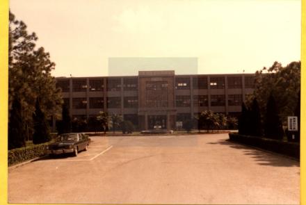
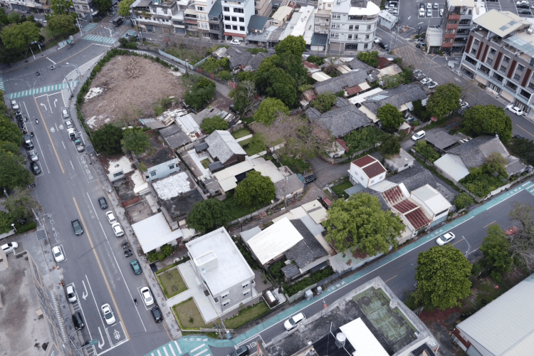
姜阿新洋樓建於1946年,費時三年完工,這棟在當時堪稱風華絕代的洋式建築,為姜阿新製茶事業上招待貴賓的場所,同時作為自住宅第,與天水堂、金廣福公館和慈天宮連線,彰顯姜氏家族影響力,形成北埔特殊的人文風景。
姜阿新洋樓的獨特美感,呈現在中西融合的形式風格。半圓拱、凸窗等古典建築技法與裝飾紋樣來自歐洲傳統,從建築外觀即可欣賞多種高難度且精巧的泥作工法,而圍牆的唭哩岸石採自北投,可想見當時的風光榮景;內部大量木構多取材自營林場,烏心石、檜木、樟木、櫸木、香杉等木料交錯運用,細緻的雕刻裝飾帶有濃厚東方吉祥寓意。洋樓設計兼備美觀與實用,例如設置通風口和水斗等巧思俯拾即是,是一令人讚嘆的建築佳作。
姜阿新個性浪漫喜好冒險創新,洋樓的起建,乃委託不拘泥傳統的年輕建築師彭玉理規劃,所聘匠司均為在地人,洋樓因此成為北埔鄉親的共同記憶。由於建築工藝特殊,且見證北埔茶業發展歷史,於2001年被指定為縣定古蹟,2018年完成修復,由姜阿新教育基金會統籌營運。
Chiang A-Hsin, courtesy name Mao-Xi (1901-1982), is a descendent of Chiang Shiu-Luan, the head of Jinguangfu Land Reclamation Company. In 1932, he constructed a tea production factory (later renamed Yongguang Co., Ltd.), which cooperated with Japan’s Mitsui Norin and Britain’s Jardine Matheson in producing and exporting black tea. As a romantic who enjoyed innovation, Chiang A-Hsin decided to build a western-style mansion to live in and to use as a reception house for his business. He began the construction in 1946, employing architect Peng Yu-Li for its planning. The craftsman who built it were all hired locally, so this western-style house became a special shared memory for the people of Beipu.
35 上坪攔河堰
35 Shangping Dam
設施概況
上坪堰位於頭前溪主支流上坪溪上,引取上坪溪水源,除供應竹東圳灌區灌溉用水外,主要引水至寶山水庫及寶山第二水庫作調蓄利用,為新竹地區最重要公共給水水源。
上坪堰為混凝土倒臥箕型固定堰,取水口位於堰體左岸排砂道上游,設有4道取水道,1號取水道專門提供竹東圳農業及寶山水庫引水使用,2~4號取水道則供寶二水庫用。
設施基本數據
型式:混凝土倒卧簊型自由溢流堰
堰頂標高:EL 173公尺
堰體:寬70.5公尺,高10.5公尺
設計取水量:20立方公尺/秒
排砂道底檻標高:EL 170公尺
排砂道閘門:2座,寬5公尺,高3.5公尺
取水口閘門:4*2座,寬3.5公尺,高2.6公尺
Facility Overview: The Shangping Weir is located on the Shangping River, a main tributary of the Touqian River. It draws water from the Shangping River to supply irrigation water to the Zhudong Canal irrigation area, and primarily diverts water to the Baoshan Reservoir and Baoshan Second Reservoir for water storage and regulation. It is the most important public water source for the Hsinchu area.
The Shangping Weir is a concrete, inverted, basket-shaped fixed weir. The intake is located upstream of the sediment discharge channel on the left bank of the weir. It has four intake channels: Intake Channel 1 is dedicated to supplying water for agriculture in the Zhudong Canal and for the Baoshan Reservoir; Intake Channels 2-4 supply water to the Baoshan Second Reservoir.
Basic Facility Data
Type: Concrete inverted free-flow weir
Weir crest elevation: EL 173 meters
Weir body: Width 70.5 meters, Height 10.5 meters
Design water intake: 20 cubic meters/second
Sediment discharge channel sill elevation: EL 170 meters
Sediment discharge channel gates: 2 units, width 5 meters, height 3.5 meters
Intake gates: 4 x 2 units, width 3.5 meters, height 2.6 meters
34 寶二水庫沉砂池
34 Bao Er Reservoir Sedimentation Basin
設施概況
沉砂池位於取水隧道出口之軟橋堤防內,由取水隧道引出三條獨立水路分別進入三座並聯沉砂池,設計容量分別為5cms、10cms及5cms。每座沉砂池均採用漸擴逆坡工型式,擴散角皆為30度,逆坡工後為沉砂溝,共8道,沉砂溝尾端設溢流堰取水,溢流堰下方為排砂道,可於操作排砂時將泥砂排回上坪溪。
設施基本數據
總長度:144.16公尺(含上游整流段、側溢流段、逆坡段及下游自由溢流段)
沉砂溝:共8道,每道淨寬4公尺
溢流堰頂標高:EL.171.80公尺(NO.1)、EL.170.80公尺(NO.2及 NO.3)
排砂閘門:4座,寬3.0公尺,高1.4公尺
Facility Overview: The sedimentation basins are located within the Ruanqiao Embankment at the intake tunnel exit. Three independent waterways from the intake tunnel flow into three parallel sedimentation basins, with design capacities of 5cms, 10cms, and 5cms respectively. Each sedimentation basin employs a gradually expanding reverse slope design with a diffusion angle of 30 degrees. Following the reverse slope are eight sedimentation channels. An overflow weir is located at the end of each channel for water intake, and below the overflow weir is a discharge channel, allowing sediment to be discharged back into the Shangping Creek during operation.
Basic Facility Data
Total Length: 144.16 meters (including upstream straightening section, side overflow section, reverse slope section, and downstream free overflow section)
Sedimentation Channels: 8 in total, each with a net width of 4 meters
Overflow Weir Crest Elevation: EL.171.80 meters (NO.1), EL.170.80 meters (NO.2 and NO.3)
Sediment Discharge Gates: 4, 3.0 meters wide and 1.4 meters high
33 桂山發電廠軟橋機組
33 Guishan Power Plant Soft Bridge Unit
日治時期
軟橋發電廠最早於臺灣日治時期,由新竹市北門鄭家在1912年所設立的新竹電燈株式會社在1919年5月竹東庄員崠子興建「軟橋發電所」,當時廠內共設置100KW之法蘭西式橫軸水輪發電機兩部。
1932年(昭和7年)10月1日,新竹電燈株式會社與「嘉義電燈株式會社」合併為「台灣電燈株式會社新竹出張所,並繼續營運軟橋發電所。
省政府時期
二戰戰後1945年,臺灣省政府成立臺灣電力公司並接收日治時期的軟橋發電所繼續運轉發電。後因水災報廢。
1988年,鑑於竹東圳改善完畢,臺電公司隨即展開軟橋水力發電廠的復建計劃。復建工程於1991年7月開工,1993年11月完成復建工程並更新廠內設備以及設置遠端遙控裝置,更新後,軟橋發電廠改由位於新北市新店區的桂山發電廠進行遠端遙控機組與水閘門開關。
現今
2001年,因應政府組織改革,軟橋發電廠改稱為軟橋機組,並繼續由桂山發電廠遠端管理,其全名改為桂山發電廠軟橋機組。
During the Japanese Occupation Period: The earliest Ruanqiao Power Plant was established in Taiwan during the Japanese occupation period. In 1912, the Hsinchu Electric Light Company, founded by the Zheng family of Beimen, Hsinchu City, built the "Ruanqiao Power Station" in Yuandongzi, Zhudong Village, in May 1919. At that time, the plant had two 100KW French-style horizontal shaft turbine generators.
On October 1, 1932 (Showa 7), the Hsinchu Electric Light Company merged with the "Chiayi Electric Light Company" to form the "Taiwan Electric Light Company Hsinchu Branch Office," which continued to operate the Ruanqiao Power Station.
During the Provincial Government Period: After World War II, in 1945, the Taiwan Provincial Government established the Taiwan Power Company and took over the operation of the Ruanqiao Power Station from the Japanese occupation period. It was later decommissioned due to flooding.
In 1988, given the completion of improvements to the Zhudong Canal, Taiwan Power Company immediately began operating the Ruanqiao Hydropower Station. The plant's reconstruction plan. Reconstruction began in July 1991 and was completed in November 1993, including equipment upgrades and the installation of remote control devices. After the upgrades, the Ruanqiao Power Plant was remotely controlled by the Guishan Power Plant in Xindian District, New Taipei City, for the operation of the generating units and sluice gates.
Currently, in 2001, due to government organizational reforms, the Ruanqiao Power Plant was renamed the Ruanqiao Unit and continues to be remotely managed by the Guishan Power Plant. Its full name is now Guishan Power Plant Ruanqiao Unit.
32 竹東圳
32 Zhudongzhen
竹東圳是台灣新竹縣的重要水利工程之一,在日治時期由竹東鎮二重埔地方士紳林春秀集資,與地方人士共同協力下,並聘請日本專業技士於1926年(大正十五年)正式動工興建,於1928年(昭和三年)竣工;為新竹開拓史上規模最大,灌溉面積最廣大的水利工程。
竹東圳攔取頭前溪上游水源上坪溪,並利用軟橋發電廠引用渠道作為導水路;完成圳路長約21公里餘, 灌溉竹東地區農田,受益面積達800公頃。後來也作為科學園區的用水來源。
The Zhudong Canal is a significant irrigation project in Hsinchu County, Taiwan. During the Japanese occupation, it was funded by Lin Chun-hsiu, a local gentry member from Erchongpu, Zhudong Township, with the cooperation of other local residents and the hiring of Japanese engineers. Construction officially began in 1926 (Taisho 15) and was completed in 1928 (Showa 3). It was the largest and most extensive irrigation project in Hsinchu's history.
The Zhudong Canal diverts water from the Shangping River, the upstream source of the Touqian River, and utilizes the irrigation canal of the Ruanqiao Power Plant as a water diversion route. The canal is approximately 21 kilometers long, irrigating farmland in the Zhudong area, benefiting an area of 800 hectares. It later also served as a water source for the Science Park.